
We begin our exploration of British Columbia.


The next morning we woke up early, packed the van and headed out to the Ancient Forest/Chun T'oh Whudujut Provincial Park, which is part of the only inland temperate rainforest in the world. We were lucky enough to get the park to ourselves.

 |
| Some of the trees here are up to 2000 years old. |


We spent our time visiting some nearby totem poles and walking to town.


We could have stayed forever, but Zero insisted that we get moving again. We do whatever Zero wants so we started heading north to the Yukon.
 |
| He gets so angry. |
We found a cabin on airbnb that was on the site of the Valhalla Music Festival. It was neat to walk around the property even though the festival had already happened a couple months earlier.


We then spent an amazing day exploring the Nisga'a Memorial Lava Bed Park on our motorcycles. The lava bed was formed when the Tseax Cone volcano erupted in 1700. The eruption destroyed two villages and killed an estimated 2,000 people.


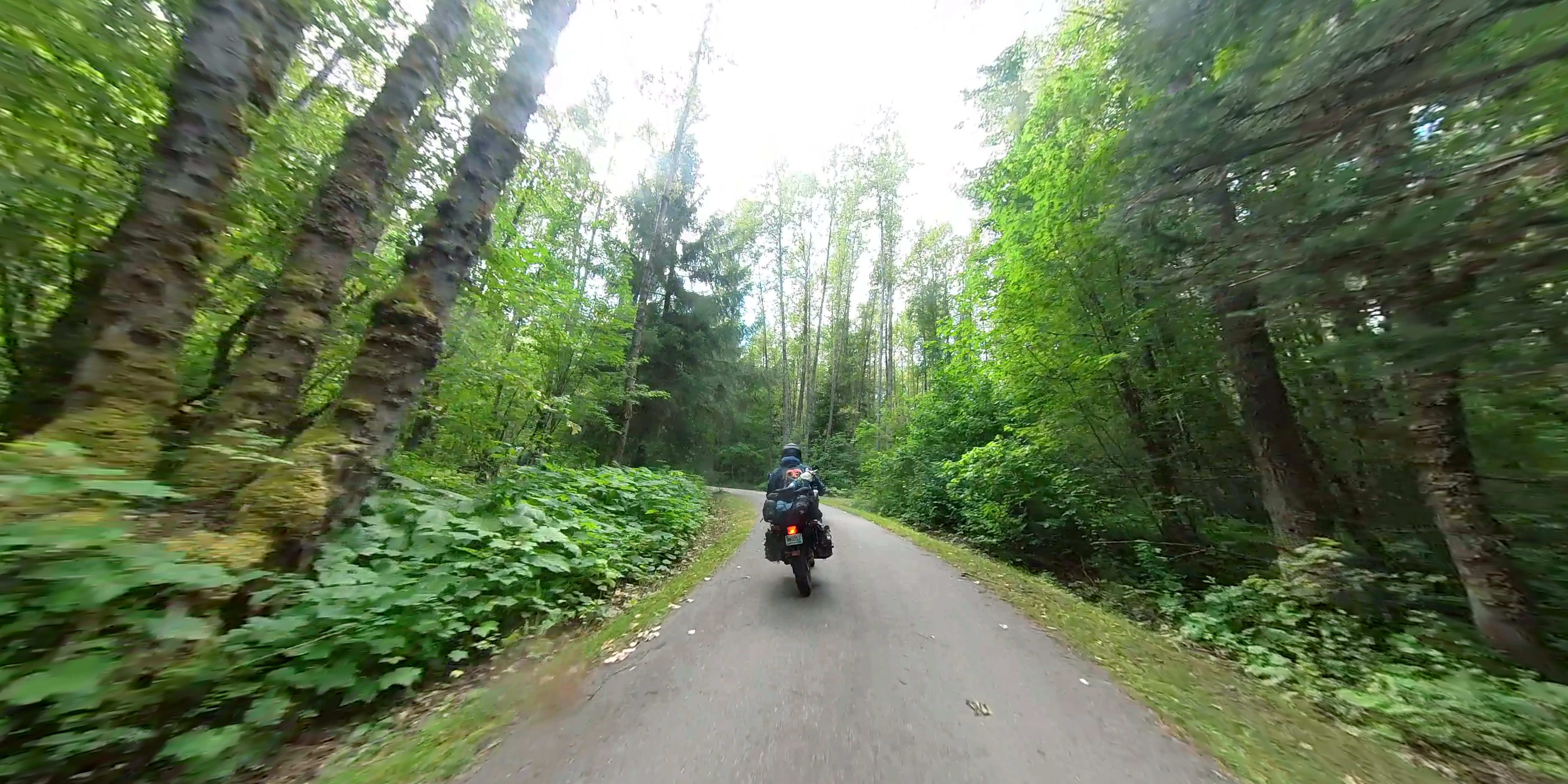
From there we continued north on the Stewart-Cassiar highway. Over the next couple of days we saw few signs of civilization, but we did find some nice campsites.
 |
| Apparently we just missed a bear swimming to this little island. |
 |
| Zero is worried he'll be a bear snack. |


 |
| We also made an addition. |
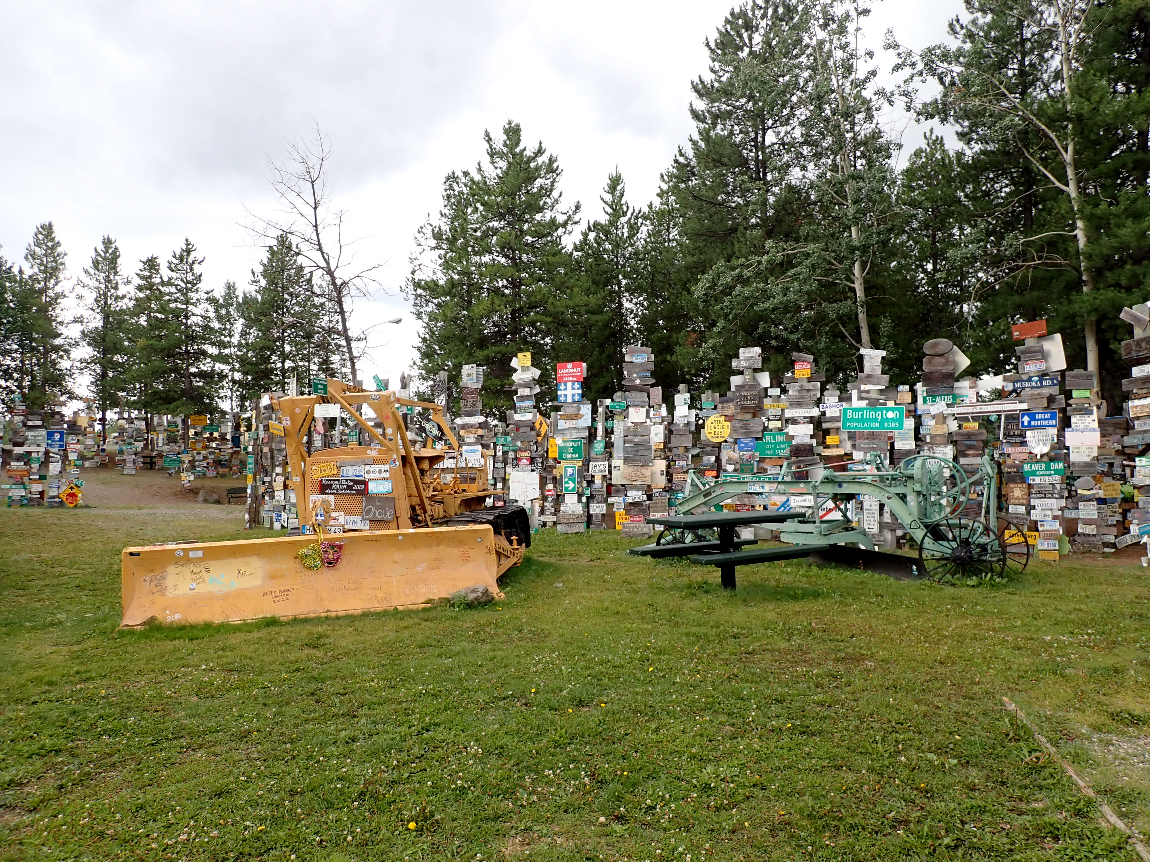
From there we headed west to Whitehorse and then a little south to Carcross where we visited the Carcross Desert which was once considered the smallest desert but it turns out its not really a desert. While there we also saw the Emerald Lake.


From here we'll be heading back down into BC for a bit more exploration of the province. That's it for now - we'll be posting BC Part 2 soon - see you then!